1970s
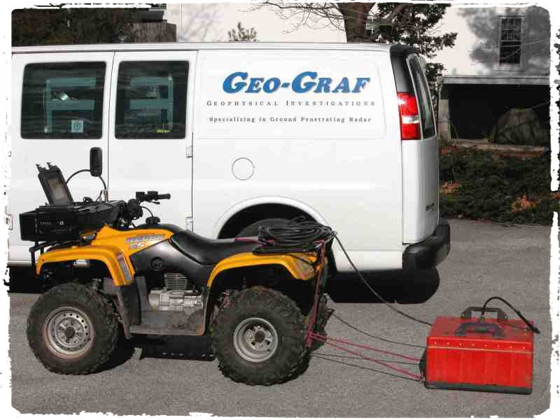
In the 1970’s as an engineer for the Philadelphia Electric Company, Fred L. Graf, P.E. (B.S. Mechanical Engineering, Lafayette College) researched and developed an idea he had for using Magnetometers to non-intrusively locate the bell joints of buried cast-iron natural gas pipelines. He knew leaks in cast-iron pipelines are predominately found at the joints, so he figured if he could positively identify the location of the joints first, before blindly digging, he could make the utility company’s repair projects both less expensive and more efficient. He consulted with Erick Schonstedt (Schonstedt Engineering, subsequently Schonstedt Instruments) to utilize and improve a magnetometeric instrument that could detect the bell joints in urban scenarios. It was a success and in the process of formulating a standardized investigative procedure, Fred pioneered and legitimized the concept of performing geophysical investigations as a precursor to digging.
1980s
Looking to fine tune his initial idea, Fred began the search for a geophysical instrument that could not only detect the location of the pipeline joints but find the actual gas leak itself. Ground Penetrating Radar (GPR) was originally developed for the U.S. military, and at that time was just starting to be manufactured and made available for public use. Fred understood that natural gas had a very low dew point. As a result, the subsoil surrounding the pipe at a leak point was always extremely dry regardless of the natural conditions. He postulated that even though GPR could not detect the emitting gas or the actual hole in the pipe, if he could somehow detect the extra dry subsoil surrounding the leak point, then by inference, he could positively determine the location of the leak. In 1977 he received joint funding from the Gas Research Institute and a major state university to research and develop his idea. He consulted with Geophysical Survey Systems Inc. and assisted them in developing GPR equipment and unique antenna arrays, that would best delineate subtle subsoil moisture changes. Again, his idea was a proven success. His research was published in various trade journals and in 1986 he was a featured lecturer at one of the first international conferences on GPR.
1990s
At this point Fred envisioned GPR and Magnetic pre-dig surveys could be utilized for multiple industries and markets, not just for Utilities and Infrastructure. He foresaw nonintrusive geophysical investigations becoming integral for Civil Engineering, Site Development, Environmental Assessments, as well as Geological and even Archaeological applications. There was one major problem. Despite Fred’s extensive research and personal success, few would embrace his idea of “needing to know what’s below”. The early analog GPR equipment was large and difficult to use. Plus, people just didn't believe that you could get accurate information by dragging a large innocuous box or waving a noisy wand over the ground. Undeterred, in 1989 he formed his own company. Wanting a descriptive name indicative of the service provided he initially thought “Geophysics Graph”. He shortened it, and playing off his own last name, called the company Geo-Graf. Geo-Graf became one of the first companies in the country to exclusively specialize in nonintrusive geophysical investigations and GPR surveys.
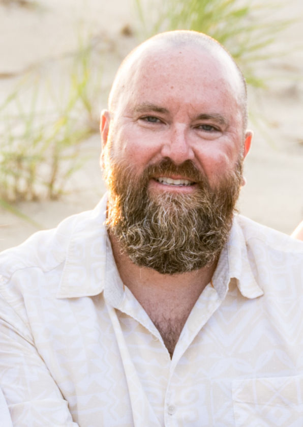
In 1995 Jay Graf (B.S. Chemical Engineering, Penn State) started working full-time at Geo-Graf. He learned under his father gaining valuable hands-on field experience in the use of Magnetics and GPR. As new technologies were developing, Jay helped sort through the mix and added those that would best complement GPR and Magnetics to establish a unique and propriety multi-instrument geophysical investigative process. This innovative investigative procedure was applicable for a wide variety of applications, produced repeatable findings, and greatly improved detection rates of targets-of-concern. Jay also created industry standards in the documentation and presentation of the investigation’s findings. He integrated CAD software into the project deliverables and created what our clients now call SAMs and SUMs (Subsurface Anomaly Maps or Subsurface Utility Maps). Slowly, but surely, industry attitudes began to change.
2000s
In the 2000’s, "Dig safe", "Call before you dig", and the idea of obtaining the most information you can about what’s underground before digging was now being widely promoted. Throughout the latter half of the ‘90’s and into the 2000’s Geo-Graf had become the go-to company for nonintrusive geophysical investigations. Geo-Graf provided services at seven nuclear power plants, the U.S. Capitol, and even helped discover the precise location of the first colonial settlement of Jamestown, Virginia.
At this point, Fred’s original idea was fully realized. GPR usage and pre-dig geophysical investigations had become common place across a spectrum of industries. Large construction and environmental companies began creating their own in-house teams to perform pre-dig investigations. Firms specializing in locating private utilities sprung up overnight and even excavators and drillers bought and used GPR equipment. So Fred decided to retire from the company he founded and Jay took over as owner and principal geophysicist.
2010s
Encouraged by the industry growth, Jay initially looked to cash in on Geo-Graf's market capital and expand; however, he began receiving feedback from his clients and other industry leaders of a troubling trend. Projects performed by other companies had much lower success and client satisfaction rates than what Jay had ever experienced at Geo-Graf. People in the industry began doubting the effectiveness and usage of pre-dig investigations. Jay realized the issue was not the technology or its use, but a combination of overzealous expectations and the fact the companies that used GPR tended to devalue fieldwork. They would consistently send the person with the least experience out to the project site. Despite technological advances and increased capabilities, successful use of GPR and other geophysical instruments solely depends upon the knowledge and experience of the operator. A deep and thorough understanding on how the technology works, as well as, familiarity and knowledge with the target(s) of concern is critical regarding the success or failure of an investigation. So, instead of quantity, Jay decided to keep Geo-Graf a small company specializing in performing accurate high-quality GPR surveys and geophysical investigations. This enables Jay to work as a specialist to assist or train the in-house teams at larger companies. He also works as a subconsultant for private utility locating firms, drilling and excavating companies when their GPR crews encounter a project or run into a situation beyond their expertise.
2020s
Extending in the 2020s, Geo-Graf continues to perform highly successful geophysical investigations and GPR surveys for a select group of repeat clients. Jay personally conducts every Geo-Graf project, bringing his 30+ years of industry-leading expertise onsite to every investigation. It’s been 50 years since Fred Graf’s initial vision that sparked an industry. With over 4,000 successful nonintrusive geophysical investigations completed, Geo-Graf continues leading the industry it pioneered.

